 click here for post script file (.pdf) | |||
| Location: Çark Avenue, Semerciler District, Adapazari. | |||
| GPS Coordinates: 40.77681°N 30.39223°E | |||
(m) |
(click on photos for higher resolution images) | ||
click here for CPT log (.pdf) click here for CPT data file (.csv) |
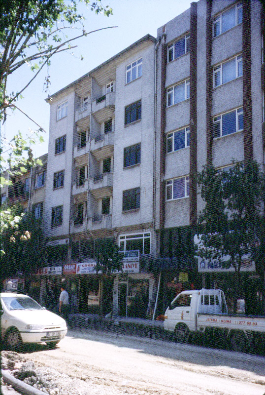 From right to left, buildings I3, I2 and I1. (Photo by Rodolfo B. Sancio) | ||
click here for CPT log (.pdf) click here for CPT data file (.csv) click here for P & S wave velocity profile (.pdf) |
|||
click here for CPT log (.pdf) click here for CPT data file (.csv) |
10.25 | ||
click here for CPT log (.pdf) click here for CPT data file (.csv) |
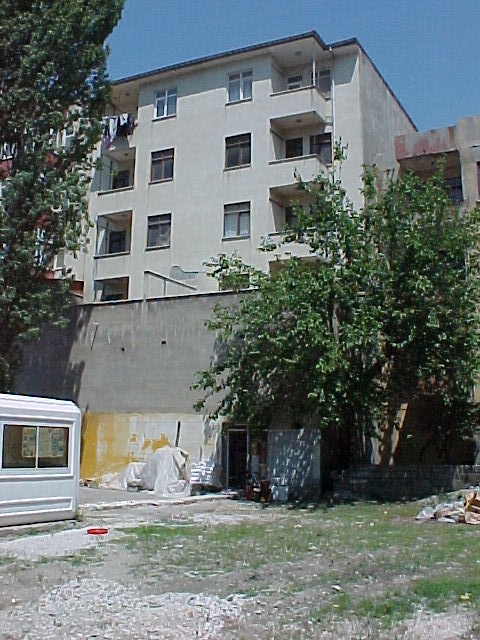 (Photo by Jonathan D. Bray) | ||
click here for boring log (.pdf) |
with SPT |
||
click here to download all CPT data files (.zip) click here to download all SPT data files in .pdf and .lpt format (.zip) .lpt can be viewed with the FREE Rockware LogView click here to download the setup file | |||