 click here for post script file (.pdf) | |||
| Location: Kinali Street, Yagcilar District, Adapazari. | |||
| GPS Coordinates: 40.78419°N 30.41295°E | |||
(m) |
(click on photos for higher resolution images) | ||
click here for CPT log (.pdf) click here for CPT data file (.csv) |
 Overview of building H1 after the Kocaeli event. (Photo by Jonathan Stewart) | ||
click here for CPT log (.pdf) click here for CPT data file (.csv) click here for shear wave velocity profile (.pdf) |
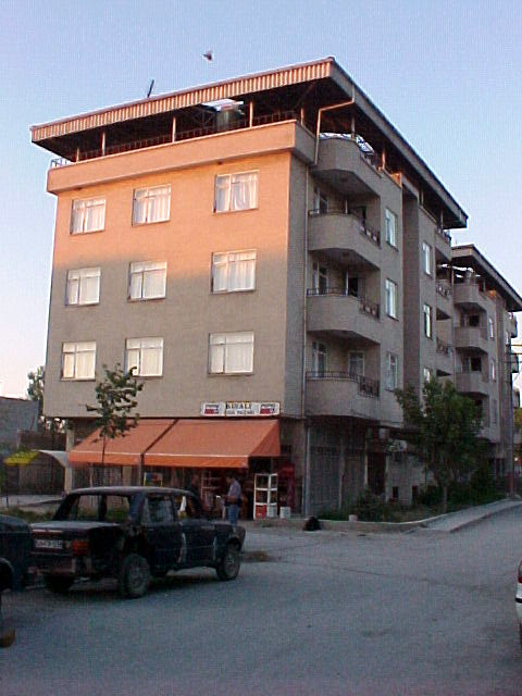 View of the Southern corner of the building (Photo by Jonathan D. Bray) | ||
click here for CPT log (.pdf) click here for CPT data file (.csv) |
10.30 | ||
click here for boring log (.pdf) |
with SPT |
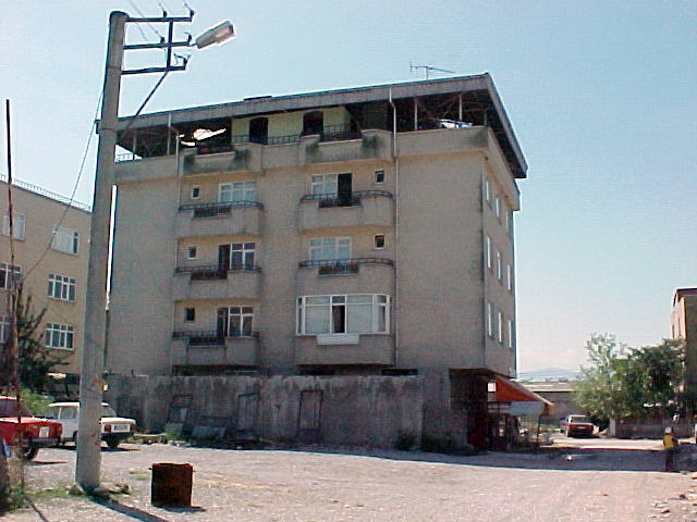 View of the Northwestern side of Site H (Photo by Rodolfo B. Sancio) | |
click here to download all CPT data files (.zip) click here to download all SPT data files in .pdf and .lpt format (.zip) .lpt can be viewed with the FREE Rockware LogView click here to download the setup file | |||