 click here for post script file (.pdf) | |||
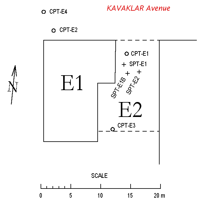
| Location: Kavaklar Avenue, Tigcilar District, Adapazari. | |||
| GPS Coordinates: 40.77778°N 30.40518°E | |||
(m) |
(click on photos for higher resolution images) | ||
click here for CPT log (.pdf) click here for CPT data file (.csv) click here for shear wave velocity profile (.pdf) |
 View of the Northeastern corner of building E1 (Photo by Jonathan D. Bray) | ||
click here for CPT log (.pdf) click here for CPT data file (.csv) |
|||
click here for CPT log (.pdf) click here for CPT data file (.csv) |
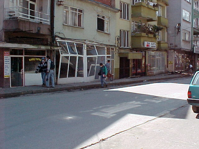
7.68 |  Northern view of Site E from the East along Kavaklar avenue (Photo by Jonathan D. Bray)
| |
click here for CPT log (.pdf) click here for CPT data file (.csv) |
|||
click here for boring log (.pdf) |
with SPT |
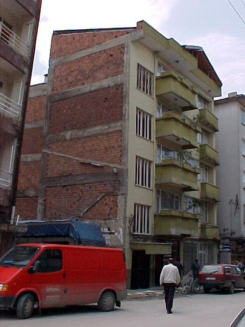 View of the Northeastern corner of building E1 (Photo by Jonathan D. Bray)
| |
click here for boring log (.pdf) |
with SPT |
||
click here for boring log (.pdf) |
with SPT |
||
click here to download all CPT data files (.zip) click here to download all SPT logs on .pdf and .lpt format (.zip) .lpt can be viewed with the FREE Rockware LogView click here to download the setup file | |||